
Country Slovenia Statistical region Drava Elevation 228 m Local time Wednesday 10:07 PM | Traditional region Styria Municipality Sveti Tomaž Area 235 ha Population 88 (2002) | |
 | ||
Weather 7°C, Wind SE at 2 km/h, 78% Humidity | ||
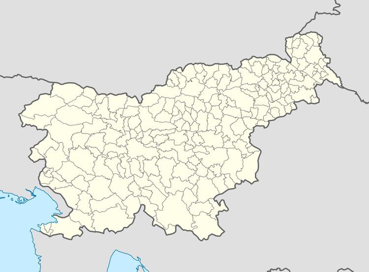
Hranjigovci ([xɾaˈnjiːɡɔu̯tsi]) is a settlement in the Slovene Hills (Slovene: Slovenske gorice) northwest of Ormož in northeastern Slovenia. It belongs to the Municipality of Sveti Tomaž, which became an independent municipality in 2006. The area traditionally belonged to the Styria region and is now included in the Drava Statistical Region.
Map of 2258 Hranjigovci, Slovenia
There is a small roadside chapel-shrine with a belfry in the northeastern part of the village. It was built in the early 20th century.
References
Hranjigovci Wikipedia(Text) CC BY-SA