
Time zone EET (UTC+2) | Governorate Mount Lebanon Elevation 1,320 m (4,330 ft) Area 12.3 km² | |
 | ||
Meet afif ambaratouriyet el lahme beajine hrajel lebanon
Hrajel (Arabic: حراجل; also spelled Harajil) is a town and municipality located in the Keserwan District of the Mount Lebanon Governorate of Lebanon. The town is about 42 kilometres (26 mi) north of Beirut. It has an average elevation of 1,320 meters above sea level and a total land area of 1,230 hectares. Hrajel's inhabitants are Maronites.
Contents
- Meet afif ambaratouriyet el lahme beajine hrajel lebanon
- Map of Hrajel Lebanon
- Upper keserwan mayrouba hrajel faraya faqra and kfardebian
- References
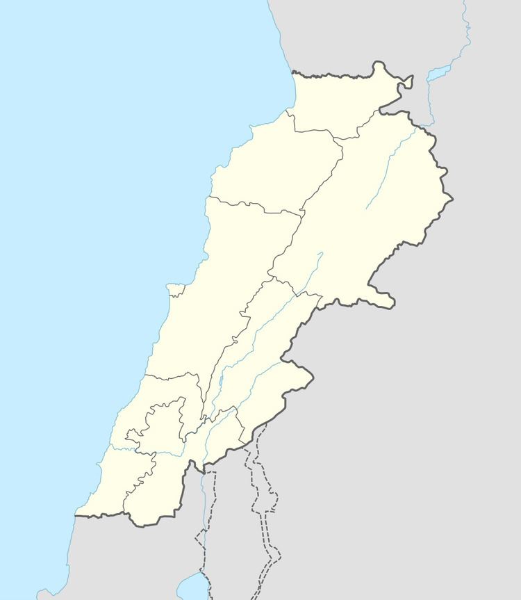
Map of Hrajel, Lebanon
Upper keserwan mayrouba hrajel faraya faqra and kfardebian
References
Hrajel Wikipedia(Text) CC BY-SA