
Country United States County Sheridan Time zone Central (CST) (UTC-6) Elevation 827 m Zip code 67740 Local time Wednesday 2:49 PM | Founded 1886 FIPS code 20-33350 Area 218 ha Population 1,195 (2013) Area code 785 | |
 | ||
Weather 16°C, Wind S at 21 km/h, 34% Humidity | ||
Hoxie is a city in and the county seat of Sheridan County, Kansas, United States. As of the 2010 census, the city population was 1,201.
Contents
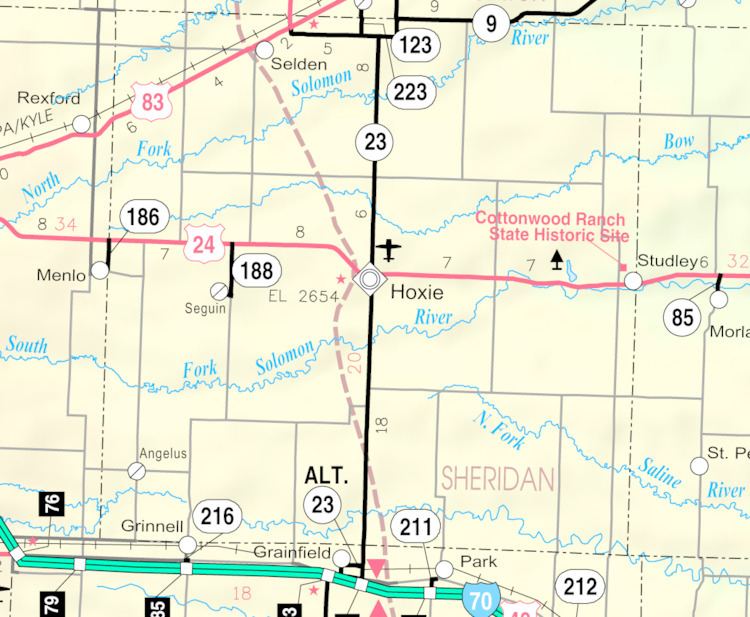
Map of Hoxie, KS 67740, USA
History
Hoxie was laid out in 1886. It was named for H. M. Hoxie, a railroad official. Hoxie was located on the Union Pacific Railroad.
Geography
Hoxie is located at 39°21′16″N 100°26′24″W (39.354329, -100.439952). According to the United States Census Bureau, the city has a total area of 0.84 square miles (2.18 km2), all of it land.
Climate
The climate in this area is characterized by hot, humid summers and generally mild to cool winters. According to the Köppen Climate Classification system, Hoxie has a humid subtropical climate, abbreviated "Cfa" on climate maps.
2010 census
As of the census of 2010, there were 1,201 people, 546 households, and 341 families residing in the city. The population density was 1,429.8 inhabitants per square mile (552.0/km2). There were 605 housing units at an average density of 720.2 per square mile (278.1/km2). The racial makeup of the city was 96.5% White, 0.1% Native American, 0.3% Asian, 1.4% from other races, and 1.7% from two or more races. Hispanic or Latino of any race were 3.6% of the population.
There were 546 households of which 24.5% had children under the age of 18 living with them, 50.9% were married couples living together, 6.6% had a female householder with no husband present, 4.9% had a male householder with no wife present, and 37.5% were non-families. 34.8% of all households were made up of individuals and 19.6% had someone living alone who was 65 years of age or older. The average household size was 2.14 and the average family size was 2.72.
The median age in the city was 48.9 years. 21.4% of residents were under the age of 18; 5.4% were between the ages of 18 and 24; 17.9% were from 25 to 44; 28.2% were from 45 to 64; and 27.1% were 65 years of age or older. The gender makeup of the city was 48.4% male and 51.6% female.
2000 census
As of the census of 2000, there were 1,244 people, 543 households, and 350 families residing in the city. The population density was 1,472.2 people per square mile (571.8/km²). There were 601 housing units at an average density of 711.3 per square mile (276.2/km²). The racial makeup of the city was 98.79% White, 0.16% African American, 0.16% Native American, 0.08% Asian, 0.48% from other races, and 0.32% from two or more races. Hispanic or Latino of any race were 1.37% of the population.
There were 543 households out of which 25.6% had children under the age of 18 living with them, 56.2% were married couples living together, 6.6% had a female householder with no husband present, and 35.4% were non-families. 33.5% of all households were made up of individuals and 20.4% had someone living alone who was 65 years of age or older. The average household size was 2.21 and the average family size was 2.81.
In the city, the population was spread in with 21.7% under the age of 18, 6.3% from 18 to 24, 21.2% from 25 to 44, 25.0% from 45 to 64, and 25.8% who were 65 years of age or older. The median age was 45 years. For every 100 females there were 89.1 males. For every 100 females age 18 and over, there were 82.4 males.
The median income for a household in the city was $33,810, and the median income for a family was $41,641. Males had a median income of $28,235 versus $15,804 for females. The per capita income for the city was $17,286. About 10.7% of families and 13.9% of the population were below the poverty line, including 25.7% of those under age 18 and 7.5% of those age 65 or over.