
Postcode(s) 7054 Postal code 7054 | Time zone AEST (UTC+10) | |
 | ||
Lga Kingborough Council, Tasmania | ||
Howden, a suburb of Hobart, is a small, relatively isolated community on the shore of South West Bay in Tasmania Australia. Nestled between the majorly-developing township of Kingston and the smaller Margate, it verges on bushland and is located 21 kilometres (13 mi) south of Hobart, the capital city of Tasmania.
Contents
Map of Howden TAS 7054, Australia
Location and features
Due to the recent housing boom, Howden's population has increased greatly, with the addition of new roads and development of properties, although there are still many vacant blocks and properties for sale.
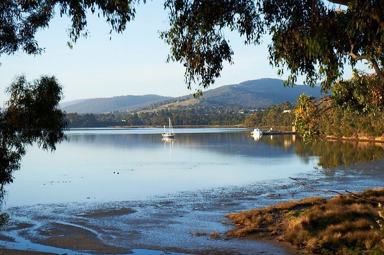
The waterfront is a 5-2 minute walk away from most of Howden, and usually there are boats on it. It is generally unsafe for swimming as it is rather shallow, somewhat polluted and full of sharp rocks. The beaches are largely empty and may contain fairy penguins at certain times of year; there will definitely be several different species of crabs hiding under the rocky shore. There is a small dirt road which leads to a jetty. Species in Howden include the Lapwing bird, seagulls, black and white cockatoos, and ducks, many of which live in and around the Peter Murrell Conservation Area which is accessible to the general public. There is a large golf course. The terrain is generally hilly, but not mountainous; the properties there are usually spacious and well constructed.