
Country Belgium Area codes 011, 089 Postal code 3530 | Postal codes 3530 Area 78.27 km² Local time Wednesday 3:40 PM | |
 | ||
Website www.houthalen-helchteren.be Weather 16°C, Wind NW at 6 km/h, 49% Humidity Governing party Socialistische Partij Anders | ||
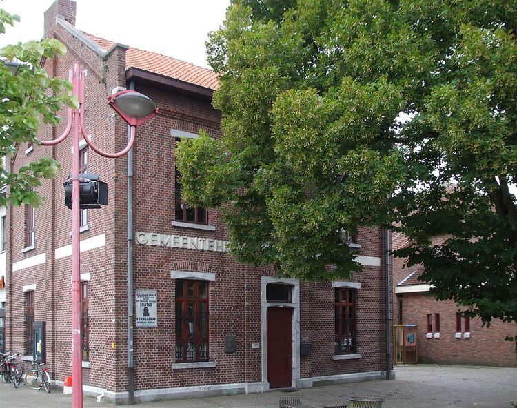
Houthalen-Helchteren is a municipality located in the Belgian province of Limburg. Houthalen-Helchteren consists of: Houthalen-centrum, Houthalen-Oost, Helchteren, Sonnis, Laak, Meulenberg and Lillo. On January 1, 2006, Houthalen-Helchteren had a total population of around 31.000. The total area is 78.27 km² which gives a population density of 383 inhabitants per km².
Contents
Map of 3530 Houthalen-Helchteren, Belgium
Geography
Helchteren is located near the watershed between the Meuse and the Scheldt. In the immediate vicinity the Dommel (which flows to the Meuse near Den Bosch), the Grote Nete (which flows to the Scheldt) and the Neer (that joins the Meuse just south of Roermond) all originate.
History of Helchteren
Helchteren could have become famous in 1702 when, during the War of the Spanish Succession, a French Army under Boufflers faced an alliance army under Marlborough. A battle could have ensued, but instead it came to the not so famous cannonade of Helchteren. The cannonade itself is however a seldom occurring event in military history.