
Country United States Time zone Eastern (EST) (UTC-5) FIPS code 36-35782 Elevation 77 m Population 3,466 (2010) | Area code(s) 315 GNIS feature ID 0979081 Zip code 13685 Local time Wednesday 4:44 AM | |
 | ||
Weather -10°C, Wind NW at 18 km/h, 90% Humidity Points of interest Westcott Beach State Park, Sackets Harbor Battlefield, Association Island, Sackets Harbor Battlefield, Seaway Trail Inc | ||
Hounsfield is a town in Jefferson County, New York, United States. The population was 3,466 at the 2010 census. The name of the town is from Ezra Hounsfield, a land agent and land owner.
Contents
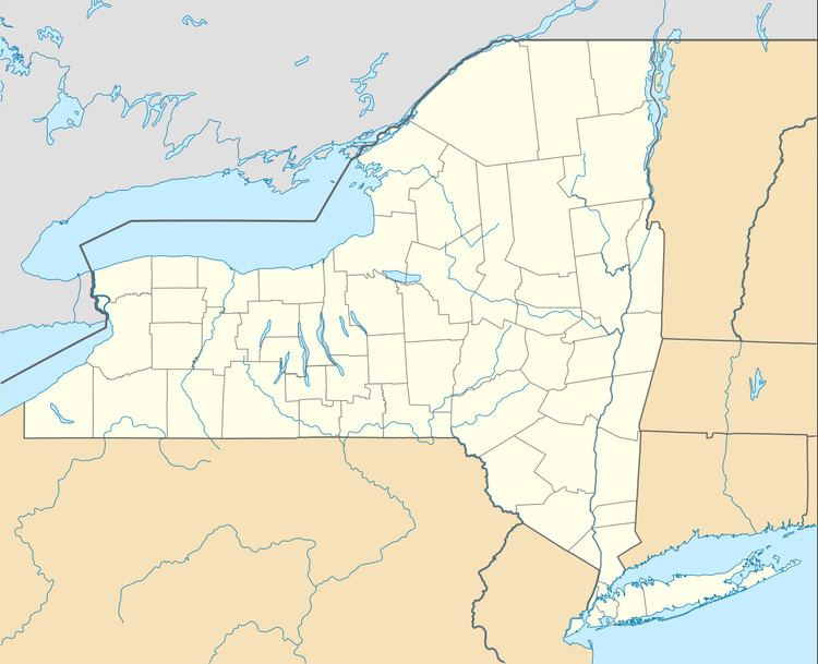
- Map of Hounsfield NY USA
- History
- Notable people from Hounsfield
- Geography
- Demographics
- Communities and inhabited places
- Geographical features and other locations
- References
Map of Hounsfield, NY, USA
The Town of Hounsfield is in the western part of the county and is southwest of Watertown.
History
The first settler within the town arrived around 1800.
The land comprising the town was purchased by Augustus Sackett in 1801 from a foreclosure of two prior landowners. He took an active part in developing the town and increasing its population.
Hounsfield was formed from the Town of Watertown in 1806. The town and its citizens were deeply involved in the War of 1812, primarily due to the two battles that took place at Sackets Harbor.
In 1814, the community of Sackets Harbor, by Black River Bay, set itself off from the town by becoming an incorporated village.
The Bedford Creek Bridge, Conklin Farm, District School No. 19, District School No. 20, East Hounsfield Christian Church, Dr. Samuel Guthrie House, Ressequie Farm, Shore Farm, Stephen Simmons House, Star Grange No. 9, Stevenson-Frink Farm, Storrs' Harbor Naval Shipyard Site, and Sulphur Springs Cemetery are listed on the National Register of Historic Places.
Notable people from Hounsfield
Geography
According to the United States Census Bureau, the town has a total area of 120.4 square miles (312 km2), of which, 49.3 square miles (128 km2) of it is land and 71.2 square miles (184 km2) of it (59.09%) is water.
The northern boundary is the Black River and the western boundary is Lake Ontario. Mill Creek enters Black River Bay near Sackets Harbor.
New York State Route 3 is a north-south highway in the western part of Hounsfield. Interstate 81 crosses the southeast part of Hounsfield.
Demographics
As of the census of 2000, there were 3,323 people, 1,350 households, and 908 families residing in the town. The population density was 67.5 people per square mile (26.0/km²). There were 1,839 housing units at an average density of 37.3 per square mile (14.4/km²). The racial makeup of the town was 97.53% White, 0.57% African American, 0.39% Native American, 0.30% Asian, 0.18% from other races, and 1.02% from two or more races. Hispanic or Latino of any race were 1.14% of the population.
There were 1,350 households out of which 31.0% had children under the age of 18 living with them, 55.2% were married couples living together, 7.9% had a female householder with no husband present, and 32.7% were non-families. 26.7% of all households were made up of individuals and 9.1% had someone living alone who was 65 years of age or older. The average household size was 2.45 and the average family size was 2.98.
In the town, the population was spread out with 23.7% under the age of 18, 8.8% from 18 to 24, 33.0% from 25 to 44, 22.6% from 45 to 64, and 11.9% who were 65 years of age or older. The median age was 36 years. For every 100 females there were 106.9 males. For every 100 females age 18 and over, there were 107.4 males.
The median income for a household in the town was $42,011, and the median income for a family was $47,742. Males had a median income of $32,464 versus $26,406 for females. The per capita income for the town was $19,806. About 7.6% of families and 10.6% of the population were below the poverty line, including 14.8% of those under age 18 and 3.6% of those age 65 or over.