
OS grid reference SD465120 Country England Post town ORMSKIRK Local time Wednesday 12:08 AM District West Lancashire Civil parish Lathom | Region North West Sovereign state United Kingdom Postcode district L40 Shire county Lancashire Dialling code 01704 UK parliament constituency West Lancashire | |
 | ||
Weather 9°C, Wind W at 13 km/h, 82% Humidity | ||
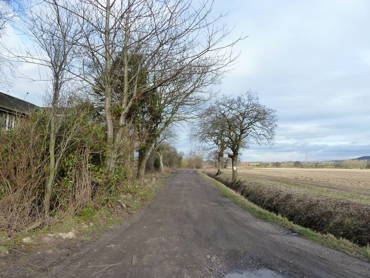
Hoscar Moss is a small village in Lancashire, England. It is located 1¼ miles (2 km) east of the larger village of Burscough.
Contents
Map of Hoscar, Ormskirk, UK
Etymology
The name Hoscar is derived from the Old Norse 'hross' or Old English 'hors' and 'kjarr' (marshland), again from the Old Norse. An early recorded form is Horsecarr (1347)
Geography
The village is bounded to the north east by the River Douglas,and to the south is the Leeds and Liverpool Canal. To the north west is the moss from which the village derives its name. Parts of the moss are only 20 feet above sea level.
Worship
St Cyprian's Mission Church, built in 1767, is located on Hoscar Moss Road and is open for services. It is a mission church for St John the Baptist, Burscough. There is also a former Wesleyan Methodist chapel, founded before 1892 that is now a private house, also located on Hoscar Moss Road.
Farming and agriculture
Many different methods of agriculture have been practiced in Hoscar and its surrounding areas. These include; turf cultivation, arable crops and grazing for both cattle and sheep.
Transport
The village is served by Hoscar railway station. The station once boasted a goods yard which was used by local farmers to get their crops to the markets of Wigan, Manchester and Southport quickly.