
Country United States ZIP code 24619 Elevation 603 m | Time zone Eastern (EST) (UTC-5) Area code(s) 276 Local time Tuesday 6:24 PM | |
 | ||
Weather -5°C, Wind NW at 26 km/h, 79% Humidity | ||
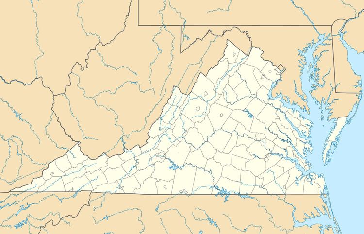
Horsepen is an unincorporated community in Tazewell County, Virginia, United States. Horsepen is located along the West Virginia state line 3.4 miles (5.5 km) east-northeast of Honaker. Horsepen has a post office with ZIP code 24619.
Map of Horsepen, VA 24602, USA
Horsepen was first settled by Cherokee Indians who raided white settlers in the region; they used a natural pen in the area to hold captured horses, giving the community its name. The Horsepen post office was originally in West Virginia but was later moved to the Virginia side of the border.
References
Horsepen, Virginia Wikipedia(Text) CC BY-SA