Isolation 13.04 mi (20.99 km) Elevation 3,156 m | Easiest route hike Prominence 438 m | |
 | ||
Topo map USGS 7.5' topographic mapHorsefly Peak, Colorado Similar Dolores Peak, Bald Mountain, Handies Peak, Mount Wilson, Mount Sneffels | ||
Horsefly Peak is the highest summit of the Uncompahgre Plateau in the Rocky Mountains of North America. The 10,353-foot (3,156 m) peak is located 10.0 miles (16.1 km) west by north (bearing 284°) of the Town of Ridgway in Ouray County, Colorado, United States.
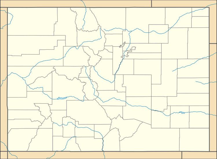
Map of Horsefly Peak, Colorado 81403, USA
References
Horsefly Peak Wikipedia(Text) CC BY-SA
