
Quadrant NW/NE Established May 22, 2013 | Ward 4 Elevation 655 m | |
 | ||
Horse Hill is a residential area in the northeast portion of the City of Edmonton in Alberta, Canada. It was formally established on May 22, 2013 through Edmonton City Council's adoption of the Horse Hill Area Structure Plan, which guides the overall development of the area. The area is estimated to have a population of 71,467 at full build-out of five neighbourhoods.
Contents
Geography
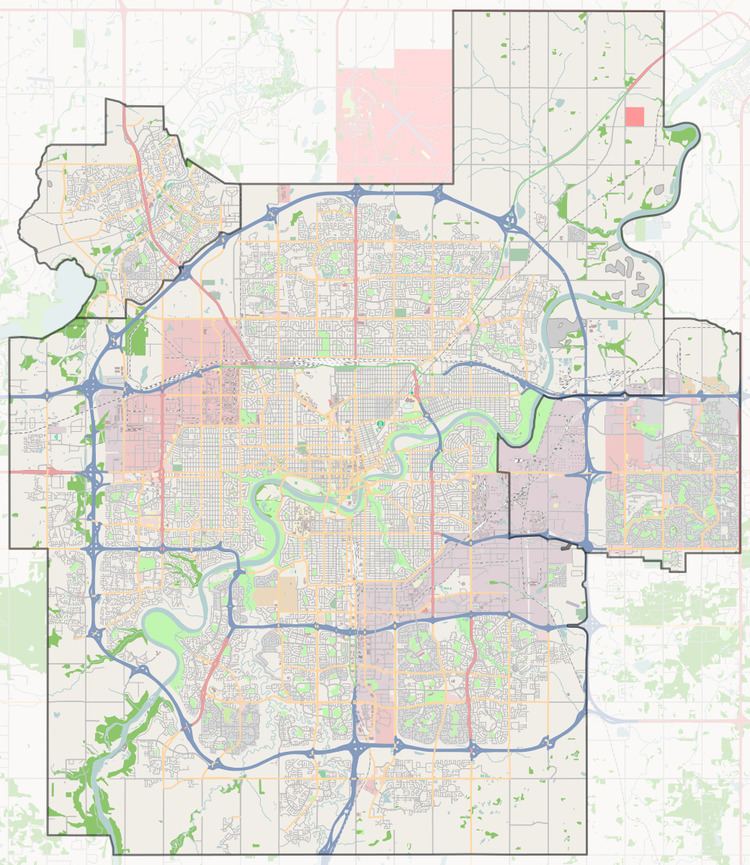
Located in northeast Edmonton, Horse Hill is bounded by Manning Drive (Highway 15) to the northwest, Anthony Henday Drive (Highway 216) to the southwest, the North Saskatchewan River valley to the south and east, and 33 Street NE to the northeast.
The Edmonton Energy and Technology Park, part of Alberta's Industrial Heartland, is located beyond Manning Drive to the northwest, while the Pilot Sound and Clareview areas are located beyond Anthony Henday Drive to the southeast. Edmonton's Clover Bar area is located across the North Saskatchewan River valley to the south, while Strathcona County and the City of Fort Saskatchewan is across the river valley to the east and northeast respectively. Sturgeon County is located beyond 33 Street NE to the northeast.
Neighbourhoods
The Horse Hill area is planned to be developed into five neighbourhoods, with estimated full build-out populations ranging from 4,718 to 27,242. The Evergreen neighbourhood, a manufactured home community, and Quarry Ridge, an estate residential subdivision, are located within Horse Hill Neighbourhood 1. Neighbourhood 2 has been named Marquis.