
Local time Wednesday 10:03 AM | ||
 | ||
Weather 12°C, Wind SE at 3 km/h, 87% Humidity | ||
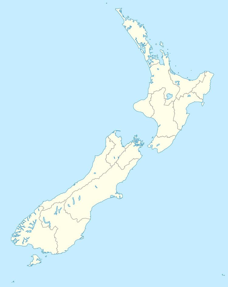
Hororata is a small settlement at the northwestern edge of the Canterbury Plains in the South Island of New Zealand. It is located 15 kilometres southwest of Darfield, five kilometres south of Glentunnel, and 50 kilometres west of Christchurch, on the banks of the Hororata River.
Map of Hororata, New Zealand
Hororata sustained some damage in the 2010 Canterbury earthquake of 4 September 2010. The settlement's most prominent building, the Anglican church of St. John, was badly affected; part of its tower collapsed onto the church's roof.
New Zealand 19th century Premier John Hall and his eldest brother George Williamson Hall are buried in the St. John cemetery.
References
Hororata Wikipedia(Text) CC BY-SA