
Country Canada Established 1915 Time zone EST (UTC-5) Population 1,050 (2011) Area code Area code 807 | District Algoma Incorporated 1927 Postal Code P0M Province Ontario Local time Tuesday 4:01 PM | |
 | ||
Weather -6°C, Wind N at 11 km/h, 41% Humidity | ||
Hornepayne is a township of 1050 people (Canada 2011 Census) located in the Algoma District of Ontario, Canada. The town was originally established in 1915 as Fitzback when the Canadian Northern Railway's transcontinental line was built through the area. It was renamed Hornepayne in 1920 after British financier Robert Horne-Payne.
Contents
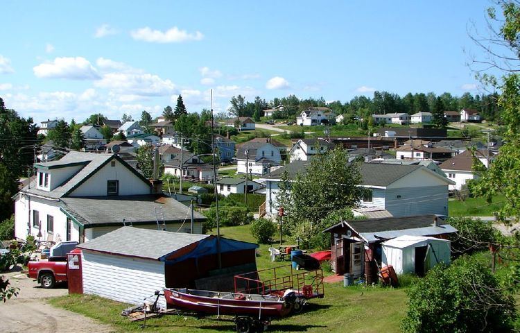
Map of Hornepayne, ON, Canada
Demographics
Population:
Mother tongue:* English as first language: 78.3%
Economy
Hornepayne serves as a railway divisional point on the main Canadian National Railway line. The forestry industry (by way of Haavaldsrud's Timber Company) is the major employer to the local economy. Hunting and fishing related tourism in the area (particularly just north of the town in nearby Nagagami Lake Provincial Park) is served by several small companies.
The township of Hornepayne has been the proposed site of a low level nuclear waste storage facility for some time. The town's community liaison group chose to withdraw from this development in the early 1990s, but as of May 2010 the township is still being considered for nuclear waste management/storage.
Transportation
Hornepayne was served by the Hornepayne Municipal Airport and the Hornepayne railway station which is a stop for Via Rail's transcontinental train The Canadian.