- summer (DST) CEST (UTC+2) Elevation 190 m | Area 18.6 km² Local time Tuesday 9:35 PM | |
 | ||
Weather 5°C, Wind N at 6 km/h, 62% Humidity | ||
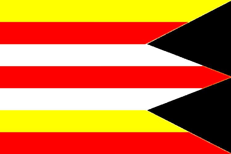
Horné Lefantovce (Hungarian: Felsőelefánt) is a village and municipality in the Nitra District of the Nitra Region, in western Slovakia.
Contents
Map of 951 45 Horn%C3%A9 Lefantovce, Slovakia
Horn lefantovce
History
In historical records the village was first mentioned in 1113. It was the ancestral estate of the medieval Elefánthy family, who built a 13th-century castle and a 14th-century monastery in the village.
Geography
The village lies in the centre of a west facing valley, at an altitude of around 190 metres and covers an area of 18.603 km². A small stream runs through the village, and drains into the Nitra River.
Facilities
References
Horné Lefantovce Wikipedia(Text) CC BY-SA
