
Elevation 402 m Local time Tuesday 9:33 PM | Area 13.69 km² | |
 | ||
Weather 2°C, Wind E at 5 km/h, 69% Humidity | ||
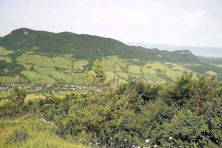
Horná Poruba (Hungarian: Felsőtölgyes) is a village and municipality in Ilava District in the Trenčín Region of north-western Slovakia.
Contents
Map of Horn%C3%A1 Poruba, Slovakia
History
In historical records the village was first mentioned in 1335.
Geography
The municipality lies at an altitude of 402 metres and covers an area of 13.691 km². It has a population of about 1,093 people.
References
Horná Poruba Wikipedia(Text) CC BY-SA