
Elevation/(average value of) 314 m (1,030 ft) Area 16.53 km² | Established 1518 Time zone EET (UTC+2) Local time Tuesday 8:29 PM | |
 | ||
Weather 5°C, Wind NW at 13 km/h, 83% Humidity | ||
Horishnia Vyhnanka (Ukrainian: Горі́шня Ви́гнанка) is a village located in the Chortkiv Raion (district) of the Ternopil Oblast (province of Western Ukraine). The population of the village is 1202 people and covers an area of 16.53 km2
Local government is administered by Horishnovyhnanska village council. Perekhody village belongs to Horishnovyhnanska village council.
Contents
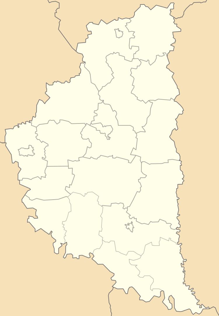
Map of Horishnya Vyhnanka, Ternopil Oblast, Ukraine
Geography
The village is situated on the high left bank of the Seret River. That is located at a distance of 5 kilometres (3.1 mi) from the district center of Chortkiv and 74 kilometres (46 mi) from the regional center Ternopil.
History
The remains of settlements Tripoli culture discovered in the village (3rd millennium BC) but the first record of the village dates back to 1518.
From 11th century to 1144 the village was part of the Principality of Terebovlia, then the Principality of Galicia–Volhynia, and in 1387 came under the power of feudal Poland.