
Country United States County Richland FIPS code 45-34990 Elevation 52 m Population 2,882 (2010) | Time zone Eastern (EST) (UTC-5) GNIS feature ID 1246059 Zip code 29061 Local time Tuesday 11:59 AM | |
 | ||
Weather 11°C, Wind W at 18 km/h, 69% Humidity Area 42.73 km² (42.73 km² Land / 10 ha Water) | ||
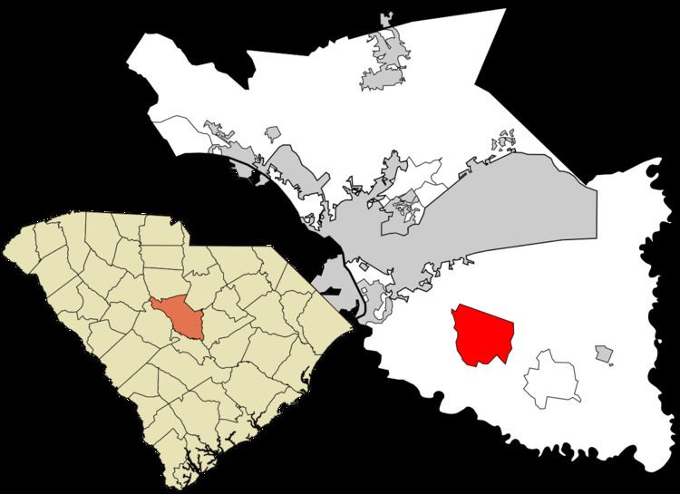
Hopkins is a census-designated place (CDP) in Richland County, South Carolina, United States, that was founded c. 1836 and named after John Hopkins. It is located 11 miles (18 km) southeast of downtown Columbia and is part of the Columbia Metropolitan Statistical Area. As of the 2010 census, the population of the Hopkins CDP was 2,882.
Contents
Map of Hopkins, SC 29061, USA
Attractions
Hopkins is 6 miles (10 km) northwest of South Carolina's only national park, Congaree National Park, which is located off Bluff Road west of Gadsden. The Congaree National Park has contiguously preserved the largest tract of old-growth bottomland hardwood forest in the United States, and contains one of the tallest deciduous forests in the world. It has 27,000-acre (110 km2) of land and water. The park was designated an international Biosphere, a Globally Important Bird Area, and a National Natural Landmark. While in the park one can hike, backpack, camp, canoe, fish, birdwatch, and study nature.
Education
Richland County School District One operates public schools serving Hopkins. Residents are zoned to Hopkins Elementary School, Horrell Hill Elementary School, Hopkins Middle School, Southeast Middle School, and Lower Richland High School.