
Country United States County Bulloch Elevation 68 m Zip code 30461 Area code 912 | Time zone Eastern (EST) (UTC-5) Area 3.237 km² Local time Tuesday 11:16 AM | |
 | ||
Weather 9°C, Wind W at 27 km/h, 77% Humidity | ||
Hopeulikit is a small unincorporated community in Bulloch County, Georgia, United States.
Contents
Map of Hopeulikit, GA 30461, USA
Toponymy
Pronounced "Hope you like it", the community’s unusual name stems from a 1920s-era dance hall located at the junction of U.S. Route 80 and U.S. Route 25, where the current-day community is located. It is commonly misinterpreted as "Hope you lick it". It has frequently been noted on lists of unusual place names.
History
Hopeulikit was founded in part by Beatrice and John Paul Ellis of Hopeulikit whose families have owned land in the area for generations. The state of Georgia has recognized Hopeulikit as a community since its formation in the early 1960s, but the community has remained unincorporated.
Geography
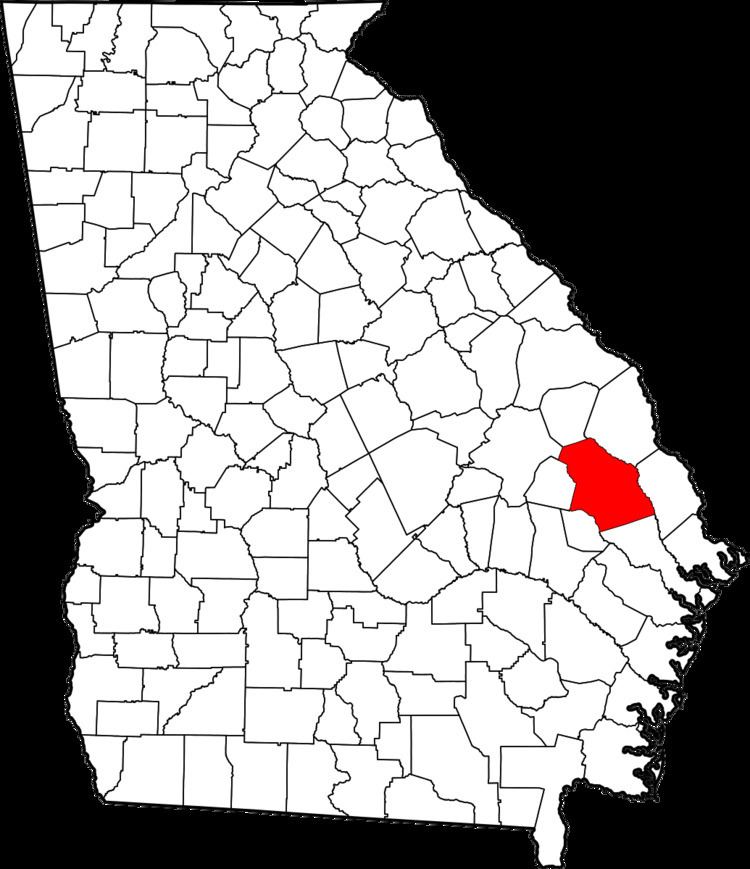
Hopeulikit is located at 32°31.8′N 81°51.1′W (32.5216, -81.8504), approximately 8 miles north-west of Statesboro, Georgia at the intersection of Georgia Highways 25 and 80. Hopeulikit is 223 feet (68 m) above sea level.
Demographics
Hopeulikit remains unincorporated and therefore is not surveyed by the U.S. Census.
Public awareness
When traveling U.S. Route 25 or U.S. Route 80 in Bulloch County commuter's attention is sure to be drawn to one of the several green road signs saying, "Welcome to Hopeulikit". In the 1920s - 1930s the area played host to one of the region's largest attractions, "The Hopeulikit Dance Hall". Since the community's formation and adaptation of the unusual name Georgians have been drawn to the history of this small community which has caused Hopeulikit to receive attention in the media (WTOC-TV) based out of Savannah, Georgia and on several tourist attraction themed websites such as: SouthEastRoads, RoadsideThoughts, and The State of Georgia's Communities