Country United States County Steele Time zone Central (CST) (UTC-6) Elevation 366 m | State Minnesota ZIP code 56046 Local time Tuesday 9:50 AM | |
 | ||
Weather -14°C, Wind NE at 5 km/h, 75% Humidity | ||
Hope is an unincorporated community in Somerset Township, Steele County, Minnesota, United States. Although it is unincorporated, Hope has a post office with ZIP code 56046.
Contents
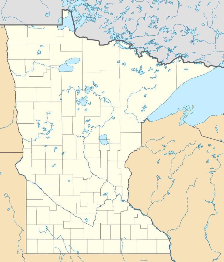
Map of Hope, MN, USA
Geography
The community is located between Ellendale and Owatonna near Interstate 35 and Steele County Road 4. Nearby places include Ellendale, Owatonna, and Bixby. Hope is seven miles north of Ellendale, and 11 miles south of Owatonna. The Straight River is nearby.
History
Hope had a depot on the Chicago, Rock Island and Pacific Railroad. A post office called Hope has been in operation since 1916.
References
Hope, Minnesota Wikipedia(Text) CC BY-SA
