
Country Burma Self-Administered Division Wa Elevation 467 m | Time zone MMT (UTC+6:30) | |
 | ||
Weather 21°C, Wind W at 6 km/h, 69% Humidity | ||
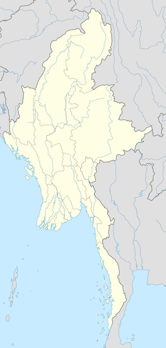
Hopang Township (Burmese: ဟိုပန်မြို့နယ်) is a township of the Wa Self-Administered Division in the Shan State of Burma. The principal town is Hopang. It is one of the 6 townships of Wa Self-Administered Division. It became part of Hopang District instead of Kunlong District in 2011.
The 3 main routes which link Hopang and other parts are 804 mile long Hopang-Lashio-Mandalay-Taunggyi-Mongpyin-Matman Road, the 343 mile long Hopang-Lashio-Tangyan-Panghsan-Matman Road and the 257 mile long Hopang-Mongmao-Panghsan-Matman Road.
Its total population before 1995 was 70,720 and Wa nationals were 24,024.
There are 3,713 acres of rubber plantation in 2007.
References
Hopang Township Wikipedia(Text) CC BY-SA