
Population Uninhabited | ||
 | ||
Hop island equestrian centre xxxx d
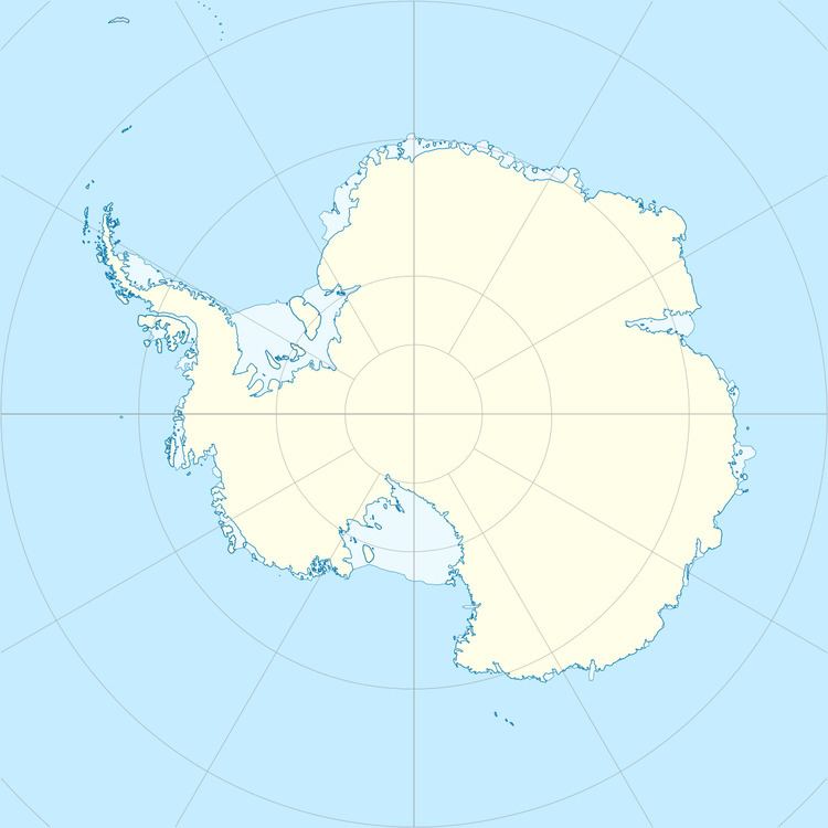
Hop Island is one of the largest of the Rauer Islands, Antarctica, about 6 kilometres (3 nmi) long, lying 2 kilometres (1 nmi) west-southwest of Filla Island. It was charted by Norwegian cartographers from air photos taken by the Lars Christensen Expedition (1936–37), who gave the name Hopoy. They charted the feature as being even larger, including a southern arm enclosing a cove. The feature was more accurately delineated by John H. Roscoe in 1952 from air photos taken by U.S. Navy Operation Highjump (1946–47). The name Hop Island has been retained for the largest segment of the feature as suggested by Roscoe.
Contents
Hop island equestrian centre
References
Hop Island Wikipedia(Text) CC BY-SA