
Governing body U.S. Forest Service Nearest city Brookhaven | Area 776.3 km² Established July 20, 1936 | |
 | ||
Management United States Forest Service | ||
Homochitto national forest clear springs campground
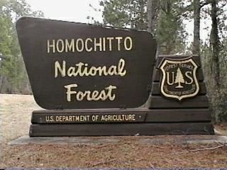
Homochitto National Forest is a U.S. National Forest in southwestern Mississippi comprising 191,839 acres (776.34 km2). In the mid-1930s, the Civilian Conservation Corps (CCC) began reforestation of the area and developing a system of roadways and recreational areas.
Contents
- Homochitto national forest clear springs campground
- Map of Homochitto National Forest Mississippi 39661 USA
- Homochitto national forest on a klr 650
- Geography
- Headquarters
- References
Map of Homochitto National Forest, Mississippi 39661, USA
Homochitto national forest on a klr 650
Geography
In descending order of land area the forest is located in parts of:
Headquarters
The forest is headquartered in Jackson, Mississippi, as are all six National Forests in Mississippi. There are local ranger district offices located in Meadville.
References
Homochitto National Forest Wikipedia(Text) CC BY-SA