 | ||
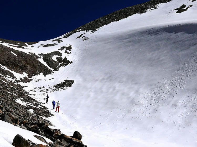
Shila samundra glacier en route homkund
Not to be confused with Hemkund
Contents
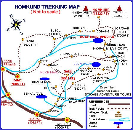
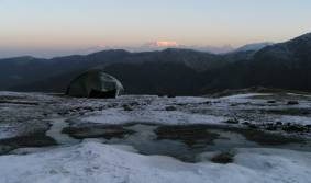
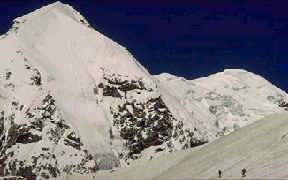
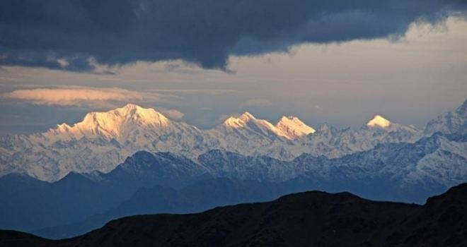
Homkund, also spelled Hom Kund is a high-altitude mountain pond located in Chamoli District, Uttarakhand State, India. Located at a height of 12,323 feet above sea level, it is in the middle of snow-covered valleys. Two Himalayan peaks, Trisul and Nanda Ghunti are near Homkund.
The geo-location of Homkund lake is: Latitude: 30.33091641 , Longitude: 79.74387600
Trekking
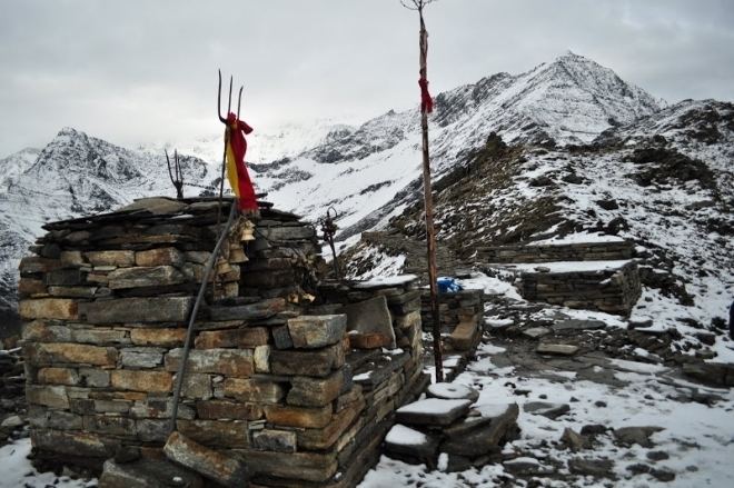
Homkund has become a trekking destination in recent years and those who trek to Roopkund consider this as another trekking destination, as Homkund is located near Roopkund.
Homkund falls on the popular trek route to Ronti Saddle, a mountain pass between Nanda Ghungti and Trishul. It takes a trek of 3 days from Roopkund crossing the Junargali Pass to reach there. You can also reach there from a different route starting from the village of Sutol and passing by Latakhopri and Chandaniya Ghat.