
Country United States County Russell ZIP code 67665 Elevation 569 m | State Kansas Time zone Central (CST) (UTC-6) Area code(s) 785 Local time Monday 8:07 PM | |
 | ||
Weather -1°C, Wind NE at 10 km/h, 50% Humidity | ||
Homer (also known as "Homer Station") is an unincorporated area in Russell County, Kansas, United States. It lies on the border between Grant and Russell Townships. There is no community or settlement at Homer.
Contents
Map of Homer, Grant, KS 67665, USA
History
Homer was once a stop on the Union Pacific Railroad. A rural post office operated at the site from 1879 to 1887.
Geography
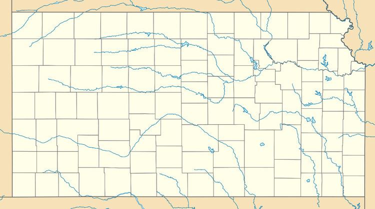
Homer is located at 38°52′10″N 98°47′51″W (38.8694558, -98.7975811) at an elevation of 1,867 feet (569 m). It lies approximately 5 miles (8.0 km) north of the Smoky Hill River and 6.5 miles (10.5 km) south of the Saline River in the Smoky Hills region of the Great Plains. Homer is on U.S. Route 40 Business roughly 3 miles (5 km) east of Russell, the county seat, and 1 mile (1.5 km) north of Interstate 70.
Transportation
Homer lies immediately east of the intersection of U.S. Route 40 Business, which runs southeast-northwest, and Homer Road, an unpaved east-west county road.
The Kansas Pacific (KP) Line of the Union Pacific Railroad runs through Homer, parallel to the U.S. 40 business route.