Time zone CET/CEST (UTC+1/+2) Area 2.73 km² Local time Monday 10:15 PM Dialling code 06439 | Elevation 297 m (974 ft) Postal codes 56379 Population 1,130 (31 Dec 2008) Postal code 56379 | |
 | ||
Weather 7°C, Wind W at 5 km/h, 71% Humidity | ||
92 herthasee holzappel
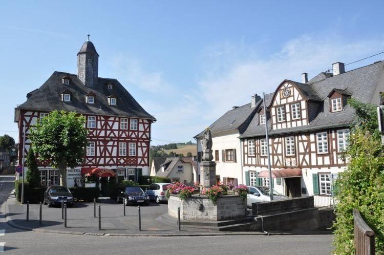
Holzappel is a municipality in the Rhein-Lahn-Kreis, Rhineland-Palatinate, Germany, with a population in 2006 of 1100.
Contents
Map of Holzappel, Germany
Holzappel was a county and state of the Holy Roman Empire from 1643 until 1714. It was founded by Peter Melander, an imperial field marshal during the Thirty Years' War. In 1714, it was inherited by Anhalt-Bernburg.
105 tischlerei meyer holzappel
References
Holzappel Wikipedia(Text) CC BY-SA
