
Surface area 3.33 km (1.29 sq mi) Surface elevation 131 m Mean depth 27 m Shore length 16.78 km | References NVE Area 3.33 km² Width 900 m | |
 | ||
Location Førde (Sogn og Fjordane) Primary inflows Reference Norwegian Water Resources and Energy Directorate | ||
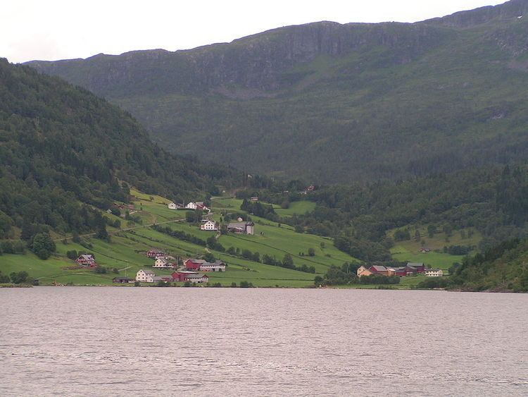
Holsavatnet is a lake which lies in the municipality of Førde in Sogn og Fjordane county, Norway. The lake is located about 12 kilometres (7.5 mi) east of the town of Førde and about 9.5 kilometres (5.9 mi) east of the village of Bruland. The village of Holsen lies at the eastern end of the lake. The European route E39 highway passes 3 kilometres (1.9 mi) west of the lake. The lake eventually flows into the river Jølstra.
Map of Holsavatnet, 6819 Holsen, Norway
References
Holsavatnet Wikipedia(Text) CC BY-SA