
Time zone EET (UTC+1) Elevation 120 m Population 1,824 (2001) | First written mention 1245 Postal Code 930 34 Area 23.2 km² Local time Monday 1:14 PM | |
 | ||
Weather 12°C, Wind W at 13 km/h, 41% Humidity | ||
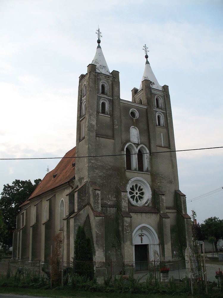
Holice (Hungarian: Gelle, [ˈɡɛllɛ]) is a village and municipality in the Dunajská Streda District in the Trnava Region of south-west Slovakia.
Contents
Map of 930 34 Holice, Slovakia
Component villages
The municipality consists of 8 formerly independent villages.
Geography
The municipality lies at an altitude of 119 metres and covers an area of 23.209 km². It has a population of about 1,825 people.
History
In the 9th century, the territory of Holice became part of the Kingdom of Hungary. In historical records the village was first mentioned in 1245. After the Austro-Hungarian army disintegrated in November 1918, Czechoslovak troops occupied the area, later acknowledged internationally by the Treaty of Trianon. Between 1938 and 1945 Holice once more became part of Miklós Horthy's Hungary through the First Vienna Award. Village Holice was created in 1940 by joining the settlements Beketfa, Kostolná Gala, Stará Gala, and Póšfa. From 1945 until the Velvet Divorce, it was part of Czechoslovakia. Since then it has been part of Slovakia.
Demography
At the 2001 Census the recorded population of the village was 1,824 while an end-2008 estimate by the Statistical Office had the villages's population as 1,889. As of 2001, 96 per cent of its population was Hungarians, while 3,73 per cent Slovakian.