
Country United States ZIP code 38929 Area 12.3 km² Population 600 (2010) | Time zone Central (CST) (UTC-6) Area code(s) 662 Elevation 59 m Local time Monday 5:15 AM | |
 | ||
Weather 3°C, Wind E at 5 km/h, 82% Humidity | ||
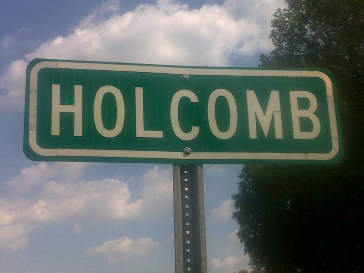
Holcomb is an unincorporated community and census-designated place (CDP) in Grenada County, Mississippi, United States. It is part of the Grenada Micropolitan Statistical Area. As of the 2010 census the community had a population of 600.
Contents
Map of Holcomb, MS 38940, USA
Holcomb has a post office with the ZIP Code of 38940.
Geography
Holcomb is in western Grenada County, on the south side of the valley of the Yalobusha River. Mississippi Highways 7 and 8 pass through the community, together leading east 10 miles (16 km) east to Grenada, the county seat. The two highways split in Holcomb, with Highway 7 leading southwest 23 miles (37 km) to Greenwood and Highway 8 leading west 35 miles (56 km) to Ruleville. Mississippi Highway 35 passes through Holcomb as well, leading south 21 miles (34 km) to Carrollton and north 20 miles (32 km) to Charleston.
According to the U.S. Census Bureau, the Holcomb CDP has an area of 4.7 square miles (12.3 km2), all of it land.
History
The community was founded in 1901 on land that once was the home site of Choctaw Indian Chief Isaac Perry.
Climate
The climate in this area is characterized by hot, humid summers and generally mild to cool winters. According to the Köppen Climate Classification system, Holcomb has a humid subtropical climate, abbreviated "Cfa" on climate maps.