
Area 261.4 km² | Founded 7 November 1971 Population 7,623 (2013) | |
 | ||
Hojancha is the 11th canton in the province of Guanacaste in Costa Rica. The canton covers an area of 261.42 km², and has a population of 7,623.
Contents
Map of Guanacaste Province, Hojancha, Costa Rica
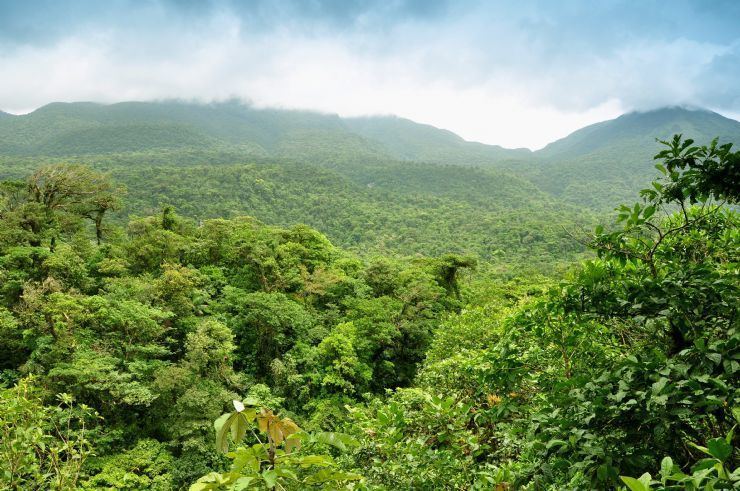
The canton is in the midsection of the Nicoya Peninsula. It is relatively compact, with a single tentacle reaching south to encompass a small portion of the Pacific coastline from Playa Carrillo southward to the mouth of the Río Ora.
Districts
The canton of Hojancha is subdivided into four districts (distritos):
History
The canton was established by law on November 2, 1971.
On September 5, 2012, a magnitude 7.6 earthquake struck 12 kilometers northeast of Hojancha, destroying houses in the canton.
References
Hojancha (canton) Wikipedia(Text) CC BY-SA