
Traversed by Track or trail Elevation 2,778 m | ||
 | ||
Similar Sefinenfurgge Pass, Blüemlisalp, Alps, Oeschinen Lake, Doldenhorn | ||
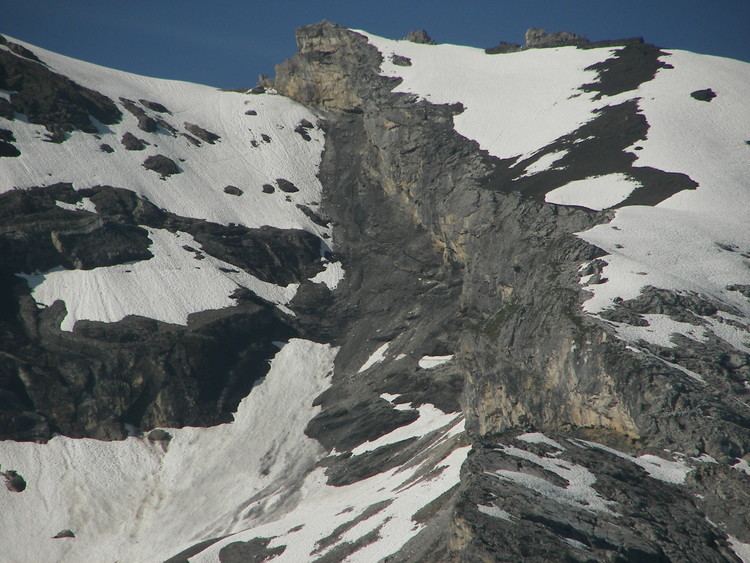
The Hohtürli (Swiss German, literally means High Little Door) is a high Alpine hiking pass of the Bernese Alps. The pass crosses the col between the peaks of Wildi Frau and Dündenhorn, at an elevation of 2,778 m (9,114 ft).
Map of Hoht%C3%BCrli, 3718 Kandersteg, Switzerland
The pass is traversed by a hiking track, which connects the hamlet of Griesalp, at an elevation of 1,408 m (4,619 ft) in the upper Kiental south of Reichenbach im Kandertal, at the entrance of the Kiental, with Kandersteg, at an elevation of 1,174 m (3,852 ft) in the valley of the Kander, the Kandertal. The track forms part of the Alpine Pass Route, a long-distance hiking trail across Switzerland between Sargans and Montreux, and the Hohtürli is the highest pass crossed by that route.
References
Hohtürli Wikipedia(Text) CC BY-SA