
Time zone CET/CEST (UTC+1/+2) Area 9.52 km² Population 1,687 (31 Dec 2008) Dialling code 036622 | Elevation 395 m (1,296 ft) Postal codes 07958 Local time Monday 8:56 AM Postal code 07958 | |
 | ||
Weather 2°C, Wind S at 10 km/h, 73% Humidity | ||
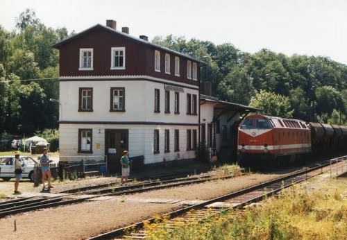
Hohenleuben is a town in the district of Greiz, in Thuringia, Germany. It is situated 12 km northwest of Greiz, and 19 km south of Gera.
Contents
Map of Hohenleuben, Germany
History
Within the German Empire (1871-1918), Hohenleuben was part of the Principality of Reuss-Gera.
References
Hohenleuben Wikipedia(Text) CC BY-SA