
Elevation 328 m (1,076 ft) Local time Monday 8:52 AM | Time zone CET/CEST (UTC+1/+2) Population 372 (31 Dec 2008) | |
 | ||
Weather 1°C, Wind S at 11 km/h, 78% Humidity Points of interest Avenida‑Therme Hohenfelden, Thüringer Freilichtmuseum, Thüringer Freilichtmuseum Hohenfelden | ||
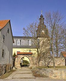
Hohenfelden is a municipality in the Weimarer Land district of Thuringia, Germany.
Contents
Map of Hohenfelden, Germany
History
Within the German Empire (1871–1918), the northern part of Hohenfelden belonged to the Grand Duchy of Saxe-Weimar-Eisenach, while the southern part belonged to the Duchy of Saxe-Meiningen.
References
Hohenfelden Wikipedia(Text) CC BY-SA