
Elevation 4,219 m Prominence 75 m | Easiest route Basic snow climb First ascent August 1869 | |
 | ||
Isolation 0.4 kilometres (0.25 mi) Similar | ||
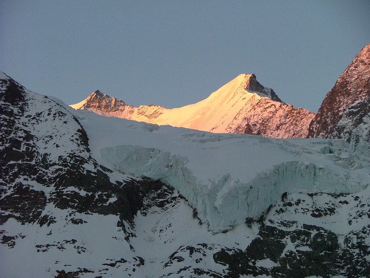
The Hohberghorn (4,219 m) is a mountain in the Pennine Alps in Switzerland. It lies towards the northern end of the Nadelgrat, a high-level ridge running roughly north–south, north of the Dom, above the resort of Saas-Fee to the east, and the Mattertal to the west.
Map of Hohberghorn, 3924 St Niklaus, Switzerland
It was first climbed by R. B. Heathcote, with guides Franz Biner, Peter Perren and Peter Taugwalder on, in August 1869 via the west gully above the Hohberg Glacier to the Stecknadeljoch.
Its north-east face, not as long or as steep as that on the neighbouring Lenzspitze, is 320 m and at an average angle of 50 degrees, and might be considered as excellent training for the latter.
References
Hohberghorn Wikipedia(Text) CC BY-SA