
Admin. region Kassel Elevation 390 m (1,280 ft) Area 87.2 km² Postal code 36145 | District Fulda Time zone CET/CEST (UTC+1/+2) Population 6,326 (30 Jun 2009) Local time Monday 7:14 AM | |
 | ||
Weather -2°C, Wind S at 8 km/h, 88% Humidity | ||
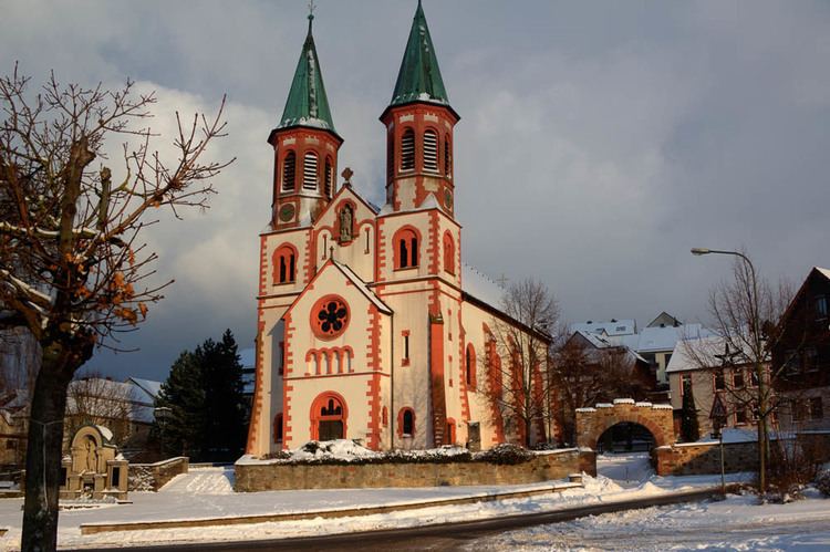
Hofbieber is a municipality in the district of Fulda, in Hesse, Germany.
Contents
Map of 36145 Hofbieber, Germany
General
Hofbieber is situated in the center of the Hessian Rhön Mountains near to the Mountain Milseburg.
The municipality of Hofbieber has approx. 6500 citizens living within 18 urban districts
and some outlying lonesome farms widespread over 90 km² (34.75 mi²).
Main income is farming and short-time stay tourism also as weekend visitors from the Frankfurt Rhine-Main Region.
Districts are :
Culture and Attractions
The picturesque surroundings and a lot of well indicated hiking & biking trails are the credits of these region.
References
Hofbieber Wikipedia(Text) CC BY-SA