
Country United States GNIS feature ID 508260 Local time Monday 1:15 AM | Time zone Eastern (EST) (UTC-5) Elevation 192 m Area code 606 | |
 | ||
Weather -1°C, Wind N at 6 km/h, 46% Humidity | ||
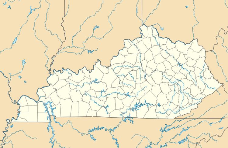
Hode is an unincorporated community in Martin County, Kentucky, United States. Hode is located along the Tug Fork and Kentucky Route 292 2.9 miles (4.7 km) north-northwest of Warfield.
Map of Hode, KY 41267, USA
A post office was established in the community in 1921, and named for Hodeviah Hensley, the son of a local minister.
References
Hode, Kentucky Wikipedia(Text) CC BY-SA