
 | ||
Hochstetter Peak (Bulgarian: връх Хохщетер, ‘Vrah Hochstetter’ \'vr&h 'hoh-shte-ter) is the partly ice-free bluff rising to over 1000 m in the southeast foothills of Louis-Philippe Plateau on Trinity Peninsula in Graham Land, Antarctica. It is surmounting Cugnot Ice Piedmont to the east and south.
Contents
Map of Hochstetter Peak, Antarctica
The peak is named after the German-Austrian geologist Ferdinand von Hochstetter (1829-1884) who worked in Bulgaria, other European countries and New Zealand.
Location
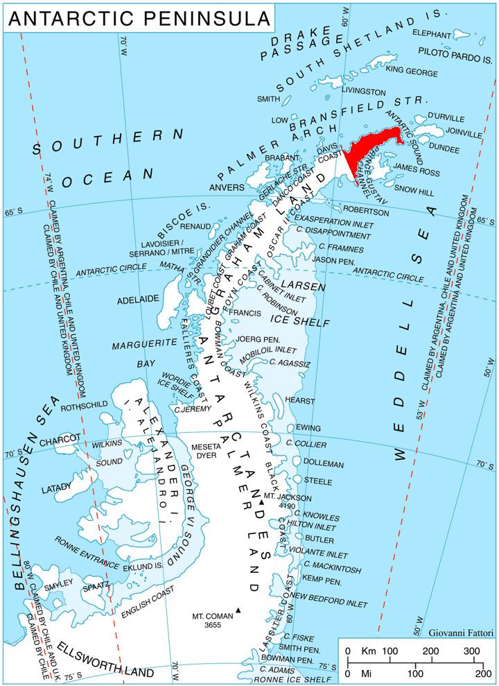
Hochstetter Peak is located at 63°36′52″S 58°18′12″W, which is 6.83 km west-southwest of Kukuryak Bluff, 10.82 km northwest of Levassor Nunatak and 2.69 km north by east of Smin Peak. German-British mapping in 1996.
Maps
References
Hochstetter Peak Wikipedia(Text) CC BY-SA