
Country Vietnam Capital Bồng Sơn Area 414 km² Population 206,700 (2009) | Region South Central Coast Time zone UTC + 7 (UTC+7) Province Binh Dinh Province Local time Thursday 3:19 AM | |
 | ||
Weather 24°C, Wind N at 3 km/h, 92% Humidity | ||
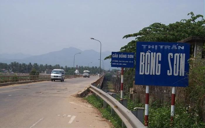
Hoài Nhơn is a district (huyện) of Bình Định Province in the South Central Coast region of Vietnam. The district capital is Bồng Sơn.
Contents
- Map of HoC3A0i NhC6A1n District Binh Dinh Province Vietnam
- Geography and infrastructure
- History
- References
Map of Ho%C3%A0i Nh%C6%A1n District, Binh Dinh Province, Vietnam
Geography and infrastructure
Hoài Nhơn has a varied topography with coastline of around 20km, lowlands and hills along its borders with Quảng Ngãi Province to the north, Phù Mỹ District to the south and Hoài Ân District and An Lão District to the west. The districts highest elevation is on the border with An Lao at 682m.
Hoài Nhơn is located along National Road 1A, Vietnam's most important road. Road 630 and Road 629 leading to Hoài Ân District and An Lão District from the south of the district (south of Bồng Sơn).
History
Hoài Nhơn was the site of an uprising against French colonialism in 1945 (in Bồng Sơn), involving around 8000 people and led by Trịnh Hồng Kỳ.
As much of Bình Định Province, it was the site of severe fighting during the Vietnam War and a major battle in 1966.