
Local time Monday 3:11 AM | Area 6.811 km² | |
 | ||
Weather 4°C, Wind N at 14 km/h, 73% Humidity | ||
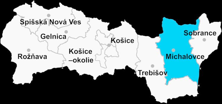
Hnojné is a village and municipality in Michalovce District in the Kosice Region of eastern Slovakia.
Contents
Map of 072 33 Hnojn%C3%A9, Slovakia
History
In historical records the village was first mentioned in 1390.
Geography
The village lies at an altitude of 108 metres and covers an area of 6.811 km². It has a population of about 250 people.
Ethnicity
The population is about 99% Slovak in ethnicity.
Culture
The village has a small public library and food stores.
Transport
The nearest railway station is 17 kilometres away at Michalovce.
References
Hnojné Wikipedia(Text) CC BY-SA