- summer (DST) CEST (UTC+2) Area 20.21 km² | Elevation 247 m Local time Monday 2:43 AM | |
 | ||
Weather -2°C, Wind NE at 5 km/h, 82% Humidity | ||
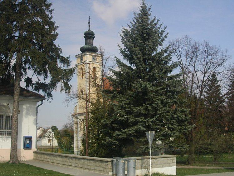
Hlboké, (Hungarian: Luboka) is a village and municipality in Senica District in the Trnava Region of western Slovakia.
Contents
Map of 906 31 Hlbok%C3%A9, Slovakia
History
In historical records the village was first mentioned in 1262. In 1843 the Štúr's Slovak language was codified in the village.
Geography
The municipality lies at an altitude of 247 metres and covers an area of 20.212 km². It has a population of about 905 people. The village is at 48 ° 39'30 "S 17 ° 24'25" W.
Famous people
References
Hlboké Wikipedia(Text) CC BY-SA
