
Area 67 ha Population 558 (2015) | Region Western Norway District Ryfylke Elevation 2 m (7 ft) Local time Monday 2:17 AM | |
 | ||
Weather 6°C, Wind SE at 19 km/h, 69% Humidity | ||
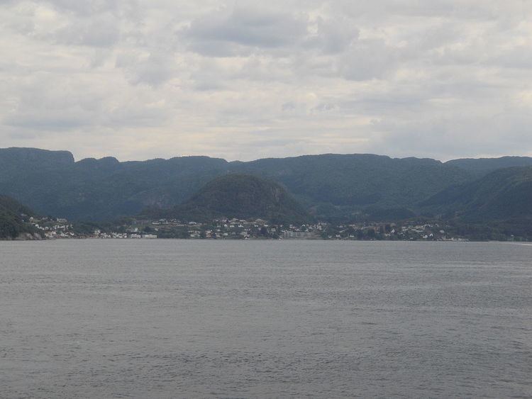
Hjelmelandsvågen is the administrative centre of Hjelmeland municipality, Norway. The village is located on the south side of the mouth of the Jøsenfjorden. The 0.67-square-kilometre (170-acre) village has a population (2015) of 558, giving the village a population density of 833 inhabitants per square kilometre (2,160/sq mi).
Map of 4130 Hjelmelandsv%C3%A5gen, Norway
The Norwegian National Road 13 runs through the village, with a ferry connection across the Jøsenfjorden and to the nearby island of Ombo. The village sits about 10 kilometres (6.2 mi) northeast of the village of Fister and about the same distance north of the village of Årdal. Hjelmeland Church is located in the village.
References
Hjelmelandsvågen Wikipedia(Text) CC BY-SA