Country United States County Garfield Named for Cass Hite Elevation 1,129 m | Established 1881 GNIS feature ID 1455095 | |
 | ||
Weather 24°C, Wind N at 18 km/h, 11% Humidity | ||
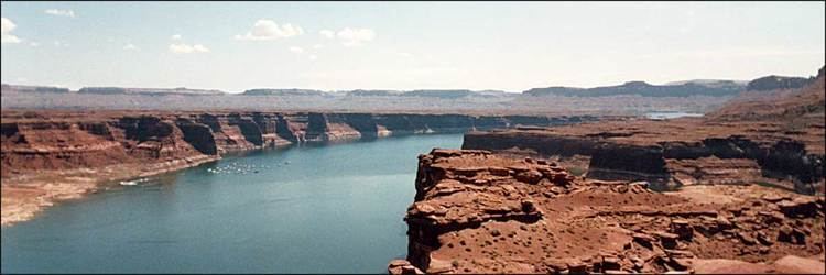
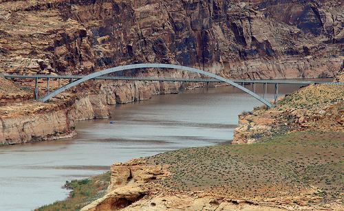
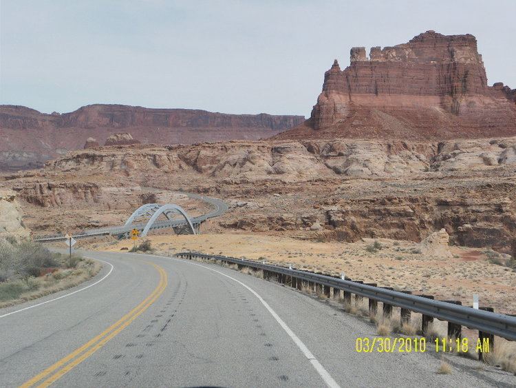
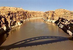
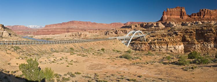
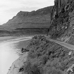
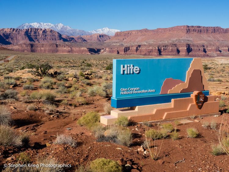
Hite is a ghost town at the north end of Lake Powell along the Colorado River in eastern Garfield County, Utah, USA. Lake Powell, and all of its points of interest, is in the Glen Canyon National Recreation Area, managed by the National Park Service and available to the public for recreation. The town existed on land which Lake Powell now covers. Hite was named for Cass Hite, an early settler. The name was transferred to a marina to the northeast in San Juan County, but it is no longer there because Lake Powell is usually too low to support boating there. The Hite Crossing Bridge, near the marina, carries Utah State Route 95 over the Colorado River and connects the area to the north of the lake.
Climate
According to the Köppen Climate Classification system, Hite has a semi-arid climate, abbreviated "BSk" on climate maps.