
Local time Sunday 4:57 AM | Nahiyah Hirbnafsah Population 3,574 (2004) | |
 | ||
Weather 9°C, Wind SE at 10 km/h, 75% Humidity | ||
Hirbnafsah (Arabic: حر بنفسه, Hīrbnafseh, also spelled Harb Nafseh) or Harbanafsah (Turkish: Hırbınefsıh, Arabic: حربنفسه, Hīrbīnafsīh) is a town in northwestern Syria, administratively part of the Hama Governorate, southwest of Hama. Nearby localities include Deir al-Fardis to the north, Tumin and al-Rastan to the east, Kisin and Kafr Nan to the south, Talaf to the southwest, . According to the Central Bureau of Statistics (CBS), Hirbnafsah had a population of 3,574 in the 2004 census. It is the administrative center and sixth largest locality of the Hirbnafsah nahiyah ("subdistrict") which consists of 26 localities with a collective population of 54,592. Its inhabitants are predominantly Sunni Muslims.
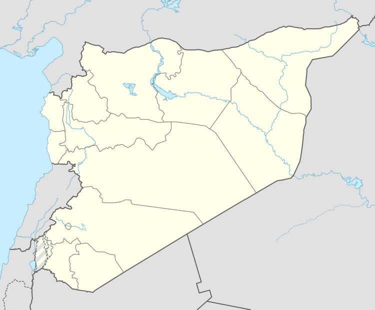
Map of Hirbnafsah, Syria
The Syria geographer Yaqut al-Hamawi mentioned that Hirbnafsah was "a village of Hims" when he visited in 1225 during Ayyubid rule.
During the ongoing Syrian civil war, which began in 2011, opposition sources claimed that 40 people in Hirbnafsa were killed as a result of Syrian Army and pro-government militia bombardment on 6 August 2012. Other opposition accounts put the fatality figure at 11, including five children.