PIN 722136 (Indpur) Elevation 123 m Population 83,834 (2011) | Time zone IST (UTC+5:30) Telephone/STD code 03243 Area 215.6 km² Area code 03243 | |
 | ||
Hirbandh is a village, with a police station, in Hirbandh CD Block in Khatra subdivision of Bankura district in the state of West Bengal, India.
Contents
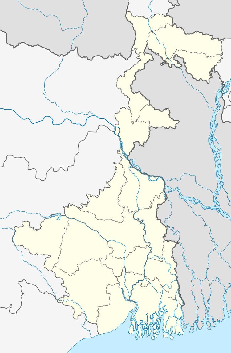
Map of Hir Bandh, West Bengal
Demographics
As per 2011 Census of India Hirbandh had a total population of 1,733 of which 859 (50%) were males and 874 (50%) were females. Population below 6 years was 175. The total number of literates in Hirbandh was 1,128 (72.40% of the population over 6 years).
Police station
Hirbandh police station has jurisdiction over Hirbandh CD Block. The area covered is 215.80 km2 with a population of 72,502.
CD Block HQ
The headquarters of Hirbandh CD Block are located at Hirbandh.
Transport
State Highway 4 (West Bengal) running from Jhalda (in Purulia district) to Digha foreshore (in Purba Medinipur district) pass through Hirbandh.
Healthcare
Hirbandh Block Public Health Centre functions as the central facility in Hirbandh CD Block, with two Public Health Centres at Molian and Mosiara and 18 subcentres.
