
Population 148 (2011 census) Postcode(s) 6413 Elevation 255 m Postal code 6413 | Established 1910 Founded 1910 Local time Sunday 7:33 AM | |
 | ||
Location 240 km (149 mi) East of Perth20 km (12 mi) West of Merredin35 km (22 mi) East of Kellerberrin Weather 18°C, Wind NE at 23 km/h, 54% Humidity | ||
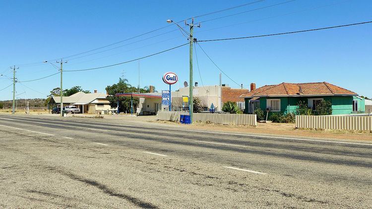
Hines Hill is a town located 240 km east of Perth, between the towns of Merredin and Doodlakine in Western Australia. The town is situated on the Great Eastern Highway and also on the edge of Lake Baandee. The town has a tavern and roadhouse, and one of the first privately owned weighbridges in Western Australia is located close to the town.
Contents
Map of Hines Hill WA 6413, Australia
It serves as a stop on the Avonlink rural train service. The railway line from Northam to Southern Cross was built through the locality in 1894 and the section was opened for traffic in 1895. The townsite was named after the original siding and the town was gazetted in 1910.
Hines Hill is a nearby geographical feature; it is thought to have been named after Jack Hines, a sandalwood collector who worked in the area.
The surrounding areas produce wheat and other cereal crops. The town is a receival site for Cooperative Bulk Handling.
Rail services
Transwa's Avonlink and Prospector services stop at Hines Hill, at least one service each day.