
Local time Sunday 11:29 AM | ||
 | ||
Weather 11°C, Wind S at 14 km/h, 100% Humidity | ||
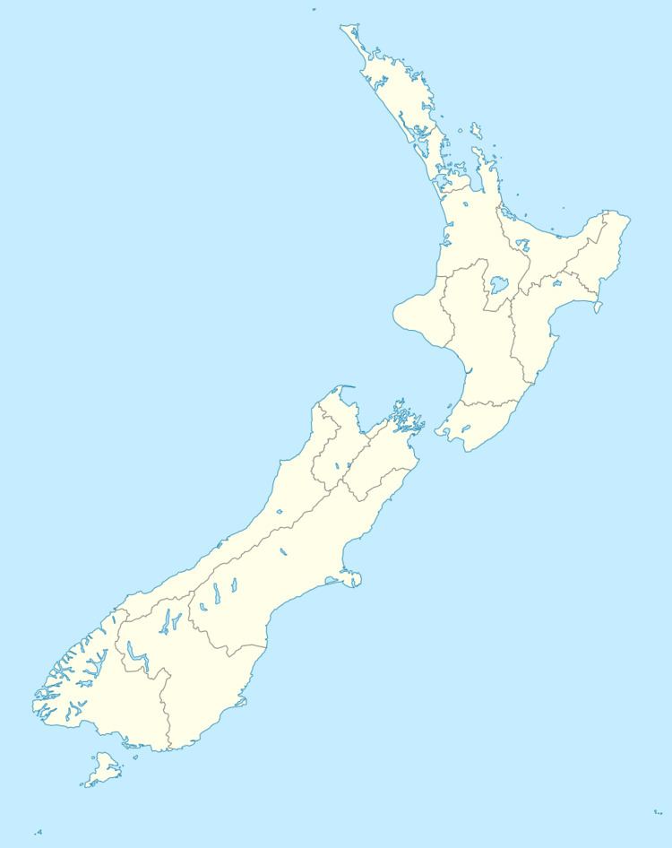
Hinds is a small town in the Mid-Canterbury region of New Zealand's South Island. It is located on the Canterbury Plains on the south bank of the Hinds River, which reaches the Pacific Ocean between the nearby localities of Longbeach and Lowcliffe. Other localities around Hinds include Ealing to the west, Willowby, Windermere, and Winslow to the northeast, and Eiffelton to the southeast.
Contents
Map of Hinds, New Zealand
Naming
The township and the surrounding district are named after the Hinds River. The river in turn was named after the Reverend Samuel Hinds, a member of the Canterbury Association that organised the settlement of Canterbury.
Population
Statistics New Zealand's statistical area named Hinds covers a large amount of rural area around Hinds and Ashburton, and thus its population figure of 3,348 at the 2001 New Zealand Census of Population and Dwellings is not an accurate reflection of the population of Hinds township, which is much smaller.
History
State Highway 1 and the Main South Line railway pass through Hinds. Passenger trains have not regularly operated through Hinds since the cancellation of the daily Southerner service on 10 February 2002, but freight trains run multiple times every day. The town also has a primary school; it dates from 1881 and the original classrooms are still in use. The school's size was boosted in the 1930s when rural schools in Ealing, Maronan, and Lynnford were closed and their students sent to Hinds. There were plans to build a secondary school in Hinds, but these never eventuated and the primary school gained land set aside for the secondary school.
In 2011 with the closure of the rural school in Lowcliffe their students were sent to Hinds.