
Country Canada Time zone EST (UTC-5) Population 204 (2011) | District Timiskaming Postal Code P0J 1S0 Local time Saturday 1:33 PM Area code 705 | |
 | ||
Weather -18°C, Wind NW at 26 km/h, 52% Humidity | ||
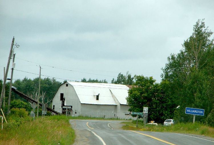
Hilliard is a township in the Canadian province of Ontario, located within the Timiskaming District. Its main community is Hilliardton, located along Secondary Highway 569. The smaller communities of Couttsville and Whitewood Grove are also located within the township.
Contents
Map of Hilliard, ON, Canada
The township was named in honour of Daniel Hilliard, member of the Legislative Assembly of Ontario from 1886 to 1888.
Demographics
Population:
Private dwellings, excluding seasonal cottages: 79 (total: 92)
Mother tongue:
References
Hilliard, Ontario Wikipedia(Text) CC BY-SA