
Country India Area 88.1 km² | Time zone IST (UTC+5:30) Vidhan Sabha constituency Balurghat | |
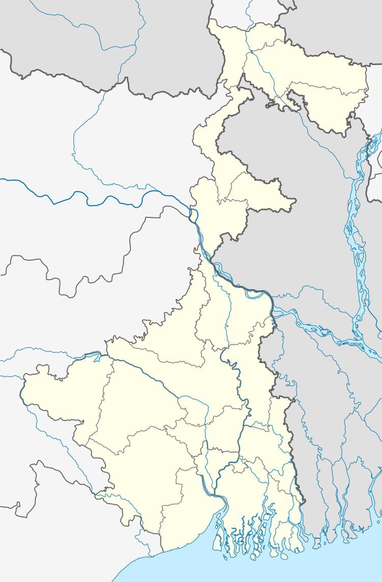 | ||
Hili (community development block) is an administrative division in Balurghat subdivision of Dakshin Dinajpur district in the Indian state of West Bengal. Hili police station serves this block. Headquarters of this block is at Hili.
Contents
Geography
Hili is located at 25°17′10″N 88°59′38″E. Hili community development block has an area of 88.10 km2.
There is a small river named Jamuna in the Hili block.
Gram panchayats
Gram panchayats of Hili block/ panchayat samiti are: Binshira, Dhalpara, Hili, Jamalpur, and Panjul.
Demographics
As per 2011 Census of India Hili CD Block had a total population of 83,754 all of which were rural. There were 42,981 males and 40,773 females. Scheduled Castes numbered 21,352 and Scheduled Tribes numbered 25,653.
Literacy
As per 2011 census the total number of literates in Hili CD Block was 57,402 out of which 31,789 were males and 25,613 were females.
Transport
At the time of partition in 1947, Hili Railway Station got located in Pakistan and is now in Hakimpur Upazila of Bangladesh.
Extension of the Eklakhi-Balurghat Branch Line to Hili was announced in the Rail Budget for 2010-11.