 | ||
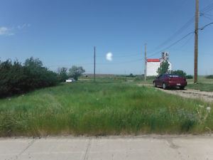
Hilda is a hamlet in southern Alberta, Canada within Cypress County, located 4 kilometres (2.5 mi) east of Highway 41, approximately 67 kilometres (42 mi) northeast of Medicine Hat. In 1910, the post master named the post office "Hilda" after his infant daughter.
Contents
Map of Hilda, AB, Canada
Demographics
As a designated place in the 2016 Census of Population conducted by Statistics Canada, Hilda recorded a population of 45 living in 19 of its 22 total private dwellings, a change of 7001216000000000000♠21.6% from its 2011 population of 37. With a land area of 0.44 km2 (0.17 sq mi), it had a population density of 102.3/km2 (264.9/sq mi) in 2016.
As a designated place in the 2011 Census, Hilda had a population of 37 living in 18 of its 20 total dwellings, a -17.8% change from its 2006 population of 45. With a land area of 0.54 km2 (0.21 sq mi), it had a population density of 68.5/km2 (177/sq mi) in 2011.
