
Country United States ZIP codes 82638 Elevation 1,830 m | Time zone Mountain (MST) (UTC-7) GNIS feature ID 1609103 Local time Saturday 8:22 AM | |
 | ||
Weather 1°C, Wind S at 14 km/h, 87% Humidity | ||
How to say or pronounce usa cities hiland wyoming
Hiland (also Poison Creek Station or Wolton) is an unincorporated community in western Natrona County, Wyoming, United States. It lies along the concurrent U.S. Routes 20 and 26, west of the city of Casper, the county seat of Natrona County. Its elevation is 6,004 feet (1,830 m). Although Hiland has no post office (closed in 2014), it has a ZIP code of 82638. Hiland is so named because it formed the highest elevation point within the Wyoming portion of the Chicago and Northwestern Railroad. As of 2014, the town consisted only of a bar catering to bikers, and an adjacent house.
Contents
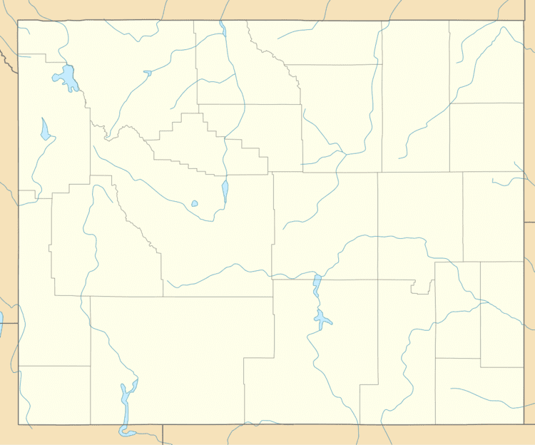
Map of Hiland, WY 82638, USA
References
Hiland, Wyoming Wikipedia(Text) CC BY-SA