
Elevation 494 m (1,621 ft) Location Hong Kong Island | Native name 西高山 | |
 | ||
Similar Pok Fu Lam Reservoir, Lung Fu Shan Country P, Mount Davis - Hong Kong, Mount Gough, Hong Kong Trail | ||
Hong kong central the peak high west
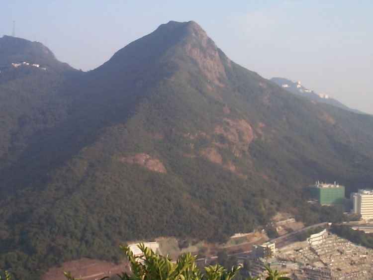
High West (Chinese: 西高山) is a mountain in Hong Kong Island, Hong Kong.
Contents
- Hong kong central the peak high west
- Map of High West Hong Kong
- Hike up high west enjoy panoramic view of hong kong
- References
Map of High West, Hong Kong
The mountain has a height of 494 m (1,621 ft). It is west of Victoria Peak, north of Pok Fu Lam and south of Lung Fu Shan. Queen Mary Hospital is at its west slope and Harlech Road passes its north slope. Hatton Road and Lugard Road end in the pass between High West and Victoria Peak. The mountain is located within Pok Fu Lam Country Park.
Although not as high as Victoria Peak, its peak is a much less touristed location than the previous,which offers panoramic views over the western and southern sides of the island, as well as Kowloon and parts of New Territories to the north. A small trail near the junction of Hatton, Lugard and Harlech Roads leads to the top. On clear days, Tai Mo Shan, Tsuen Wan and East Lamma Channel can be visible.