
OS grid reference SE950351 Sovereign state United Kingdom Postcode district HU20 Dialling code 01430 | Post town COTTINGHAM Local time Saturday 6:51 AM | |
 | ||
Weather 8°C, Wind SW at 13 km/h, 92% Humidity | ||
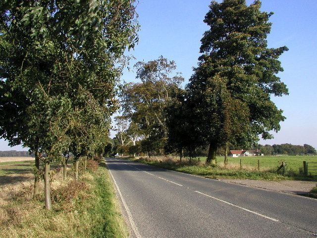
High Hunsley is a small hamlet in the East Riding of Yorkshire, England. It is situated in the Yorkshire Wolds approximately 6 miles (10 km) south-west of Beverley town centre and 2 miles (3 km) north-west of the village of Little Weighton.
Contents
Map of High Hunsley, Cottingham, UK
High Hunsley forms part of the civil parish of Rowley. It is situated on the B1230 road and the Yorkshire Wolds Way passes close to the west.
In 1823 Hunsley (then both High and Low), was in the civil parish of Rowley and the Wapentake of Harthill. Baines' History, Directory and Gazetteer of the County of York stated that Hunsley was formerly "a place of some consequence," where "the foundations of ancient buildings are sometimes dug up". Occupations at the time included two farmers, a corn factor (trader), a yeoman, and a gentlewoman.
Transmitter site
To the west of the settlement is the 61-metre (200 ft) High Hunsley transmitter (53.8031°N 0.5653°W / 53.8031; -0.5653), which is used by local radio stations BBC Radio Humberside, 96.9 Viking FM and Capital Yorkshire. The ground around the transmitter is at a height of around 160 metres (525 ft) above sea level.
Digital radio
† Awarded on 19 February 2008 but yet to launch.